AI-Powered Multi-Stage Planning for Advanced Surveillance with SAR Aircraft
Explore a novel AI-driven multi-stage planning system for Synthetic Aperture Radar (SAR)-equipped aircraft, optimizing flight paths for high-quality, multi-target surveillance in complex 3D environments.

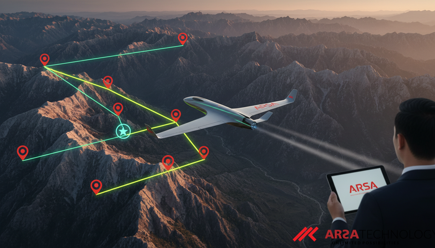
Revolutionizing Airborne Surveillance: AI-Driven Multi-Stage Planning for SAR Aircraft
The future of autonomous airborne surveillance is being shaped by advanced artificial intelligence, particularly in optimizing missions for aircraft equipped with Synthetic Aperture Radars (SAR). SAR technology offers unparalleled capabilities, enabling high-resolution imaging through diverse weather conditions, day or night. However, harnessing this power for multi-target surveillance missions, especially in challenging terrains, presents significant planning complexities. A groundbreaking multi-stage planning system, detailed in a recent preprint for the IEEE/RAS International Conference on Automation Science and Engineering 2025 by Daniel Fuertes et al., introduces an innovative approach to overcome these challenges by integrating sophisticated AI techniques to generate optimal flight trajectories for SAR-equipped aircraft, ensuring superior image quality and real-time operational efficiency. You can find the original research paper here: Multi-stage Planning for Multi-target Surveillance using Aircrafts Equipped with Synthetic Aperture Radars Aware of Target Visibility.
Traditional methods for generating flight paths often rely on predefined straight-flight segments, which don't adapt to the nuanced visibility conditions affected by 3D terrain and aircraft orientation. This static approach scales poorly for missions involving multiple targets, where dynamic adaptation is crucial for effective real-time operations. The new system directly addresses this by introducing a holistic framework that intelligently sequences waypoints, predicts optimal flight segments aware of terrain, and generates robust trajectories. This innovation promises to unlock new efficiencies and capabilities for critical applications ranging from search-and-rescue and disaster management to defense operations, environmental monitoring, and smart city infrastructure.
The Intricacies of SAR Mission Planning
Effective SAR imaging is highly dependent on an aircraft's trajectory. To achieve optimal image resolution and reliable target detection, SAR-equipped aircraft must maintain specific straight-line flight paths at precise altitudes. However, real-world scenarios introduce layers of complexity. Uneven terrain can obstruct the line-of-sight to targets, while altitude variations can impact both image quality and the extent of visibility. Flying too high may degrade image resolution, while flying too low risks terrain obstruction.
Furthermore, multi-target missions demand efficient navigation between observation points, minimizing travel time and energy consumption. The challenge lies in simultaneously determining the ideal flight segment (its orientation, altitude, and duration) that maximizes visibility for each target, and then seamlessly connecting these segments to form an optimized overall trajectory. Current state-of-the-art solutions often simplify these complexities, focusing either on maximizing SAR coverage area or ignoring terrain constraints. Few specifically tackle the multi-target problem for SAR, and even fewer actively predict optimal segments based on real-time visibility rather than relying on static, predefined zones. This novel research steps in to bridge these critical gaps.
A Multi-Stage AI-Powered Framework
The proposed system adopts a multi-stage approach, leveraging advanced AI at each step to transform complex mission requirements into actionable flight plans. The workflow begins with a map of targets and progresses through three distinct, yet interconnected, stages:
Waypoint Sequencing with AI
The first stage addresses the classic "Traveling Salesman Problem" (TSP) at its core: determining the most efficient order to visit all targets. Given a set of targets, the system's objective is to find a permutation of these waypoints that minimizes the total tour length. This is a computationally intensive problem that can quickly become intractable with standard mathematical optimization as the number of targets increases.
To tackle this efficiently, the system employs an autoregressive Transformer-based neural network. Transformers, known for their prowess in processing sequential data and their self-attention mechanisms, are ideal for encoding complex relationships within a graph representation of the targets. This neural network is trained using deep reinforcement learning within an Actor-Critic framework, allowing it to learn optimal sequencing strategies with significantly reduced computational cost compared to traditional optimization methods. This intelligent sequencing ensures a high-level, efficient route plan from the outset.
Intelligent Segment Prediction
Once the optimal sequence of targets is determined, the system moves to predict the most suitable straight-flight segments for SAR imaging. This is where the innovation in visibility awareness truly shines. Unlike previous methods that rely on fixed segment positions, this system uses a novel neural network built upon a MobileNetv3 backbone. This network is specifically designed to analyze 3D terrain elevation data, predicting flight segments that maximize target visibility at the lowest possible altitude.
By performing this prediction with AI, the system eliminates the need for manual selection or predefined segments, making it highly adaptable to complex and dynamic environments. The ability to automatically identify segments that offer the best visibility is crucial for scenarios involving dozens or even hundreds of targets, where manual oversight would be impractical. This ensures that the acquired SAR imagery is of the highest quality, capturing critical details without obstruction. Such intelligence in processing environmental data for optimal operational outcomes is also a core aspect of ARSA Technology's approach to AI Video Analytics, where real-time video streams are converted into actionable intelligence for various surveillance and monitoring needs.
Trajectory Generation with 3D Dubins Curves
The final stage connects these predicted straight-flight segments into a smooth, feasible trajectory for the aircraft. This is achieved using an A\* search algorithm, a widely recognized pathfinding technique, enhanced with 3D Dubins curves. Dubins curves represent the shortest path between two points with specified tangents (directions) and a minimum turning radius, making them ideal for modeling realistic aircraft motion constraints.
By incorporating 3D Dubins curves, the system ensures that the generated flight path maintains smooth, continuous motion, preventing abrupt changes that could compromise aircraft stability or SAR imaging quality. This integrated approach not only connects the segments efficiently but also respects the physical limitations and operational requirements of the aircraft, ensuring mission effectiveness and safety. For instance, in applications like traffic monitoring, intelligent pathfinding is critical for efficient data collection, mirroring the capabilities found in products such as ARSA's AI BOX - Traffic Monitor.
Real-World Impact and Future Potential
The evaluation of this multi-stage planning system demonstrates its robustness for complex SAR missions. It consistently ensures high-quality multi-target SAR image acquisition, maintaining awareness of intricate 3D terrain and target visibility constraints, all while delivering real-time performance. This capacity for autonomous, adaptive mission planning holds immense potential for various sectors.
For defense and public safety, it means more efficient reconnaissance, enhanced threat detection, and improved disaster response. In environmental monitoring, it allows for precise data collection over vast and challenging landscapes. For critical infrastructure operators, it offers unparalleled accuracy in surveillance and inspection. The ability of AI to interpret environmental data and strategize complex operations, as demonstrated by this research, aligns with the broader industry trend towards intelligent automation. Companies like ARSA Technology, with expertise since 2018 in developing and deploying practical AI and IoT solutions across various industries, understand the critical need for systems that deliver measurable impact in real-world conditions. This research exemplifies the power of AI to transform passive data into predictive intelligence and autonomous decision-making.
This multi-stage planning system represents a significant leap forward in autonomous surveillance capabilities for SAR-equipped aircraft. By intelligently combining waypoint sequencing, visibility-aware segment prediction, and constrained trajectory generation, it offers a robust solution for complex multi-target missions. The integration of advanced AI techniques like Transformer networks, deep reinforcement learning, and MobileNetv3 backbones highlights the growing sophistication of AI in solving real-world operational challenges.
To explore how ARSA Technology leverages AI and IoT to transform operational complexities into competitive advantages for enterprises and public institutions, we invite you to explore our solutions and discuss your specific needs. Start a free consultation today.
Source: Fuertes, D., del-Blanco, C. R., Jaureguizar, F., Navarro-Corcuera, J. J., & García, N. (2025). Multi-stage Planning for Multi-target Surveillance using Aircrafts Equipped with Synthetic Aperture Radars Aware of Target Visibility. IEEE/RAS International Conference on Automation Science and Engineering 2025. https://arxiv.org/abs/2604.16962