MetaEarth3D: Revolutionizing World-Scale 3D Generation for Spatial Intelligence
Explore MetaEarth3D, the groundbreaking AI model generating multi-level, unbounded 3D scenes at a planetary scale. Learn how it transforms Earth observation, urban planning, and autonomous navigation with unprecedented spatial realism.

The Evolution of Generative AI and a Missing Dimension
Recent advancements in generative Artificial Intelligence have transformed our ability to create realistic visual content, from images and videos to complex simulations. These sophisticated models, known as generative foundation models, learn from vast datasets to produce outputs with impressive structural and semantic coherence. Over the past few years, we've witnessed rapid scaling in both the size of these models (more parameters) and the volume of training data, leading to successful applications in diverse fields such as autonomous driving, robotics, and gaming.
Despite this remarkable progress, a fundamental limitation has persisted: the spatial scale of generated environments remains largely confined to bounded, localized settings. Existing models struggle to capture the intricate ways geographic environments evolve over thousands of kilometers, failing to accurately model the spatial structure of the vast physical world. This oversight highlights a crucial gap in generative AI, where scaling has primarily focused on computational resources rather than acknowledging spatial scale as a core dimension of intelligence itself. This missing element creates a bottleneck for applications demanding ultra-wide-area spatial intelligence, particularly in Earth observation and advanced simulation.
Bridging the Gap: Unlocking World-Scale 3D Generation with MetaEarth3D
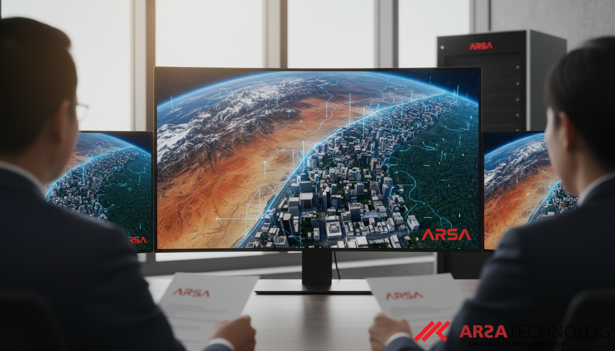
Addressing this critical limitation, new research introduces MetaEarth3D, a pioneering generative foundation model designed for spatially consistent generation at a planetary scale. Motivated by the needs of Earth observation and simulation, MetaEarth3D marks a significant leap forward, enabling the generation of multi-level, unbounded, and highly diverse 3D scenes. This includes everything from expansive large-scale terrains, to medium-scale cities, and even fine-grained street blocks, providing a continuous, geographically accurate virtual representation of the world.
MetaEarth3D stands out as the first model to achieve this unprecedented spatial consistency. It was trained on an extensive dataset of 10 million globally distributed real-world images, allowing it to generate scenes that not only appear visually realistic but also maintain geospatial statistical accuracy. Beyond its impressive generation capabilities, MetaEarth3D functions as a powerful data engine, capable of creating diverse virtual environments essential for ultra-wide spatial intelligence. This breakthrough promises to empower the next generation of spatial intelligence for Earth observation and beyond, as detailed in the source paper "MetaEarth3D: Unlocking World-scale 3D Generation with Spatially Scalable Generative Modeling" (arXiv:2604.22828).
Technical Breakthroughs for Planetary Scale Modeling
The challenge of world-scale 3D generation is immense, primarily due to the difficulty in constructing a unified representation of the Earth's surface. This surface is incredibly diverse, featuring everything from sprawling cities to towering mountains, vast deserts, dense forests, and expansive snowfields, each with unique geographical characteristics. Existing visual generative models typically operate on "rasterized image tokens"—essentially pixel-based representations—which quickly become computationally infeasible when attempting to model large, continuous, and unbounded scenes. The sequence length of these tokens would explode, making both training and inference impractical.
MetaEarth3D tackles this by focusing on efficient and scalable scene representations, moving beyond the traditional limitations of object-centric or indoor-level generation. While advanced 3D scene representations like Neural Radiance Fields (NeRF) and 3D Gaussian Splatting (3DGS) have been effective for smaller, bounded objects, they face prohibitive memory and computational costs when scaled to ultra-wide 3D environments. MetaEarth3D's innovation lies in its ability to manage this complexity, extending generative capabilities to multi-level, ultra-wide spatial extents from both on-orbit (satellite) and low-altitude viewpoints, allowing for seamless observation and simulation across vast distances.
Addressing the Limitations of Traditional 3D Approaches
Traditional methods for creating virtual environments for large-scale applications have inherent drawbacks. Graphics-engine-based simulators, while offering high controllability, often lack the textural richness and the statistical realism of the actual physical world. This means simulations might not accurately reflect real-world variations or nuances. On the other hand, 3D reconstruction strategies, which aim to replicate existing environments, are often hampered by the extremely high costs of data acquisition and the limited diversity of scenes they can produce. Reconstructing vast areas with high fidelity requires massive amounts of data, which is both expensive and time-consuming to obtain.
This is where generative foundation models like MetaEarth3D offer a paradigm shift. By learning from real-world data distributions, they can synthesize new, diverse, and realistic environments without the need for manual design or costly reconstruction of every single detail. This generative approach provides a cost-effective and scalable way to create the rich, varied virtual worlds necessary for advanced spatial intelligence, breaking free from the constraints of static 2D images or isolated 3D scenes to offer truly continuous, unbounded environments.
Real-World Impact: Driving Ultra-Wide Spatial Intelligence
The implications of world-scale 3D generation are profound for various industries and critical applications. For instance, in advanced air mobility and autonomous aerospace navigation, highly realistic virtual environments spanning hundreds to thousands of square kilometers are indispensable for training and validating autonomous systems. Similarly, disaster management can benefit from simulations that accurately model vast geographical areas, allowing for better preparedness and response planning.
Furthermore, tasks like creating Earth observation "digital twins" – virtual replicas of real-world systems for monitoring and analysis – or simulating continuous UAV (unmanned aerial vehicle) fly-throughs demand gigapixel-level spatial coverage. This requires systems that can precisely capture seamless transitions from detailed urban blocks to expansive natural terrains. MetaEarth3D's capacity to generate these multi-level, unbounded scenes provides the crucial infrastructure for such high-stakes applications, offering an unparalleled tool for understanding and interacting with our planet in a digital realm.
Deploying Next-Generation Spatial AI with Expert Partners
While the academic research behind MetaEarth3D represents a monumental leap, bringing such advanced spatial AI to real-world enterprise operations requires robust deployment strategies and expertise. Companies like ARSA Technology specialize in taking cutting-edge AI capabilities and engineering them into practical, scalable solutions for diverse industries. Our approach ensures that these sophisticated models can be deployed effectively, whether through cloud APIs, on-premise software, or turnkey edge systems like the ARSA AI Box Series.
For organizations looking to harness the power of ultra-wide spatial intelligence for applications such as smart city management, large-scale industrial monitoring, or advanced defense systems, deploying solutions based on technologies like MetaEarth3D offers a competitive advantage. ARSA’s expertise in AI Video Analytics and custom AI solutions can help integrate these advanced generative capabilities into existing infrastructure, providing real-time operational intelligence, enhanced security, and optimized decision-making across vast geographical areas.
Source: Cao, Jinqi et al. "MetaEarth3D: Unlocking World-scale 3D Generation with Spatially Scalable Generative Modeling." arXiv preprint arXiv:2604.22828 (2026).
Ready to explore how world-scale 3D generation and advanced AI can transform your enterprise operations? Learn more about ARSA’s practical AI solutions and contact ARSA for a free consultation to discuss your specific needs.