Advancing Large-Scale 3D Reconstruction for Digital Twins and Smart Cities
Discover how new 3D surface reconstruction methods using AI, like viewpoint partitioning and scene completion, overcome challenges for digital twins and smart city development.

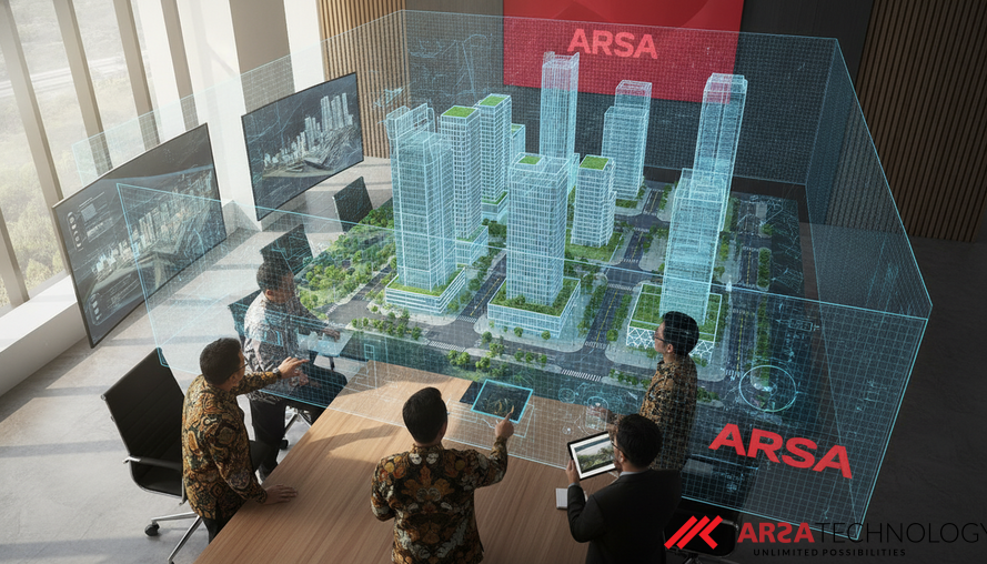
Creating accurate, large-scale 3D models of urban environments is a critical yet complex challenge in computer vision. These digital replicas, often referred to as digital twins, are invaluable for applications ranging from urban planning and infrastructure management to autonomous navigation and virtual tourism. While recent advancements in AI-driven 3D reconstruction methods, particularly those based on 3D Gaussian Splatting (3DGS), have significantly improved the ability to render realistic scenes, achieving high-quality surface reconstruction over vast cityscapes has remained difficult. This is largely due to the intricate geometry of large scenes, the intensive computational resources required, and the persistent issue of data gaps.
The Evolution of 3D Scene Reconstruction
The field of 3D scene reconstruction has seen remarkable progress. Early techniques relied on traditional photogrammetry and Structure-from-Motion (SfM) methods to derive 3D information from multiple 2D images. While effective, these often produced sparse point clouds that lacked fine detail or contained significant gaps. More recently, neural implicit representation methods, such as Neural Radiance Fields (NeRF), emerged, offering impressive capabilities in generating new views and recovering geometry by representing scenes as continuous volumetric radiance fields. However, NeRF’s computational intensity often led to lengthy training times, limiting its scalability for expansive environments.
The advent of 3D Gaussian Splatting (3DGS) marked a significant leap forward. 3DGS represents scenes using a collection of small, explicit 3D "Gaussians"—essentially tiny, colored ellipsoids. This approach drastically accelerates rendering speeds compared to NeRF, making it an attractive option for real-time applications and rapid scene reconstruction. Despite its speed, applying 3DGS to large-scale scenes, such as entire cities, still presents substantial challenges. High memory usage and prolonged optimization processes can hinder performance, and the unstructured nature of 3DGS can sometimes compromise the precision needed for accurate surface details, especially when dealing with complex aerial imagery (Wu et al., 2024).
Overcoming Limitations with Intelligent Partitioning
To tackle the complexities of large-scale 3D reconstruction, researchers have often adopted a "divide-and-conquer" strategy, splitting the entire scene into smaller, manageable blocks. While this approach allows for parallel processing on multiple GPUs, traditional spatial partitioning methods face inherent drawbacks. When a camera view intersects the boundary of a block, information from outside that block is often missing during training, leading to visual inconsistencies and geometric inaccuracies at the seams. This means that while novel view synthesis might look impressive, the underlying 3D surfaces can be flawed.
A groundbreaking approach, as detailed in recent research, introduces a novel partitioning method based on viewpoint orientation (Han et al., 2026). Instead of simply dividing a scene geographically, this method intelligently groups camera views with similar orientations and positions. The core insight is that accurate geometric reconstruction heavily relies on the overlap of viewpoints. By jointly processing views that share significant overlap and have small angular differences, the system can achieve more precise depth estimations. This leads to higher-quality surface reconstructions and more balanced computational loads across multiple GPUs. This intelligent grouping minimizes geometric variations within each processing unit, enhancing the robustness of the reconstruction.
For instance, in smart city applications, accurate 3D models of buildings and infrastructure are crucial for planning, simulation, and monitoring. An AI video analytics system like ARSA Technology’s AI Video Analytics Software could leverage such enhanced 3D reconstructions to provide more accurate spatial context for object detection, traffic monitoring, or crowd analysis within a digital twin.
Filling the Gaps: Scene Completion for Enhanced Fidelity
Beyond intelligent partitioning, another significant hurdle in large-scale 3D reconstruction is the presence of missing data or "holes" in the initial 3D models. These gaps can arise from various factors, including sparse camera viewpoints during data capture or areas with insufficient texture information, which challenges standard Structure-from-Motion (SfM) algorithms. When an initial point cloud, the raw set of 3D points representing the scene, contains these omissions, subsequent 3DGS-based methods will struggle to produce complete or accurate surfaces.
To address this, a scene completion strategy has been developed to detect and repair these missing regions. This involves:
- Identifying Gaps: Analyzing the uniformity of projected points on images to pinpoint areas corresponding to holes in the 3D model.
- Leveraging Neighboring Views: For each identified problematic area, the system locates adjacent camera views and constructs image pairs.
Dense Point Cloud Generation: These image pairs are then fed into a pre-trained image feature matching network, which generates a dense* point cloud specifically for those problematic regions.
- Refinement and Completion: Finally, these newly generated dense point clouds are used to refine and complete the original sparse point cloud, providing a much more reliable geometric foundation for the large-scale surface reconstruction.
This systematic approach to scene completion is vital for generating comprehensive and defect-free digital twins. For example, in industrial settings, detailed 3D models of factory floors or construction sites enable precise monitoring and safety compliance. ARSA Technology’s AI Box - Basic Safety Guard, deployed as part of an edge AI system, could feed visual data into such a reconstruction pipeline, ensuring that the resulting digital representation is robust enough for accurate PPE detection and restricted area monitoring.
Real-World Impact and Future Outlook
The integration of viewpoint orientation partitioning and advanced scene completion techniques represents a substantial step forward in large-scale 3D surface reconstruction. Experiments conducted on extensive datasets like GauU-Scene, MatrixCity, and UrbanScene3D demonstrate that these methods significantly outperform previous state-of-the-art approaches in generating faithful and detailed surfaces (Han et al., 2026). The ability to achieve high geometric accuracy alongside high-fidelity rendering opens new possibilities for industries demanding precise digital representations of their physical assets and environments.
These advancements are particularly impactful for:
- Smart City Initiatives: Enabling more accurate and dynamic digital twins for urban planning, traffic management, and emergency response.
- Infrastructure Monitoring: Providing detailed 3D models for inspecting bridges, roads, and utilities, identifying structural issues with greater precision.
- Defense and Public Safety: Creating highly accurate topographical and architectural models for situational awareness and operational planning in complex environments.
- Manufacturing and Logistics: Generating precise digital twins of facilities for optimizing layouts, managing assets, and enhancing operational efficiency, potentially integrating with solutions like ARSA’s Custom AI Solutions.
While challenges remain, such as optimizing for extremely high-resolution aerial imagery and addressing regions with extremely sparse textures, these innovations lay a strong foundation for the next generation of 3D modeling. The ongoing research into improving the efficiency of high-resolution rendering and developing more robust SfM techniques for difficult textures will continue to push the boundaries of what’s possible in digital twin creation. As ARSA Technology, building AI since 2018, recognizes, the practical deployment of AI in real-world scenarios requires solutions that are accurate, scalable, and reliable. This includes leveraging cutting-edge research in areas like 3D reconstruction to provide robust foundations for enterprise-grade AI applications across the industries we serve.
Sources
Han, L., Zhang, W., Zhou, J., Liu, Y., & Han, Z. (2026). City-Level 3D Surface Reconstruction with Viewpoint Orientation Partitioning and Scene Completion*. arXiv preprint arXiv:2607.03771. https://arxiv.org/abs/2607.03771 Wu, Y., Liu, J., & Ji, S. (2024). 3D Gaussian Splatting for Large-scale 3D Surface Reconstruction from Aerial Images*. arXiv preprint arXiv:2409.00381v1. https://arxiv.org/html/2409.00381v1
Explore how these advanced 3D reconstruction techniques can power your next digital transformation. Contact ARSA today to discuss tailored AI and IoT solutions for your enterprise.