Geometry-Aware AI: Redefining Precision in UWB Work Zone Reconstruction
Discover how Geometry-Aware Infrastructure-Anchored (GAIA) AI refines Ultra-Wideband (UWB) sensing for unparalleled accuracy in dynamic work zone reconstruction, enhancing safety and operational efficiency for intelligent transportation systems.

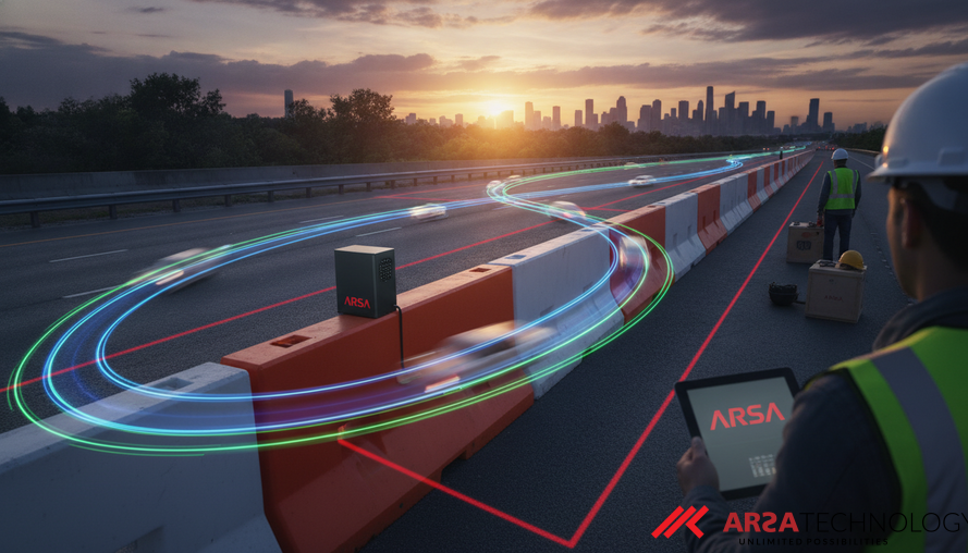
The modern industrial and urban landscape is increasingly dynamic, with construction and road work zones representing critical areas of both progress and peril. These environments, characterized by rapidly shifting layouts and temporary barriers, pose significant challenges for maintaining safety and operational efficiency. Traditional methods often fall short, leading to hazards and inefficiencies. However, a new wave of AI-driven solutions, particularly those leveraging Ultra-Wideband (UWB) technology, is poised to revolutionize how we perceive and manage these complex spaces.
The Critical Need for Precise Work Zone Intelligence
Work zones are inherently hazardous. In 2023, the U.S. alone reported 898 fatalities and over 40,000 injuries due to work-zone crashes (Tang et al., 2026). These statistics underscore the urgent need for more robust and accurate systems to define and track dynamic boundaries. Existing approaches, such as survey-grade or LiDAR mobile mapping systems, offer high detail but are costly and not agile enough for continuously changing conditions. Vision-based systems, while promising, can be hampered by obstructions, poor lighting, or insufficient data. Similarly, trajectory-based crowdsourcing methods may lag behind abrupt layout shifts. The common limitation among many of these technologies is their focus on detecting individual elements, treating the overall work-zone boundary as a secondary inference rather than a primary geometric objective. This indirect approach can obscure critical spatial errors, especially when precision is paramount for compliant routing, hazard buffering, and safe passage.
Ultra-Wideband (UWB) radio ranging emerges as a compelling, low-cost alternative. UWB technology offers exceptional time-of-flight resolution, enabling highly accurate distance measurements—often with centimeter-level precision. This capability is proving invaluable in various industrial settings, including tracking personnel and equipment in warehouses and factories, where it significantly enhances safety and efficiency by providing real-time location data (Qorvo, 2026). In the context of vehicle-to-infrastructure (V2I) communication, UWB-enabled roadside units (RSUs) positioned along a work-zone perimeter can provide direct, multi-anchor geometric constraints to vehicles, feeding structured spatial information directly into boundary reconstruction processes.
Overcoming UWB's Real-World Challenges with Geometry-Aware AI
Despite its advantages, UWB ranging in outdoor environments faces significant hurdles. Non-line-of-sight (NLOS) propagation, where the direct path between a UWB sensor and receiver is blocked (e.g., by a vehicle or barrier), can introduce substantial signal distortion. Additionally, burst noise and long-tail errors further compromise measurement accuracy, leading to skewed spatial reconstructions. Most conventional UWB denoising methods primarily focus on correcting individual range measurements, without explicitly considering the overarching geometric structure of the work zone itself. This can lead to situations where even seemingly small errors in range data can cause large, critical distortions in the reconstructed boundary.
To address these limitations, researchers have developed innovative solutions like the Geometry-Aware Infrastructure-Anchored (GAIA) denoiser. GAIA represents a significant advancement by integrating a deep understanding of the work zone's spatial geometry directly into the UWB denoising process. Instead of merely cleaning up individual distance readings, GAIA aims to ensure that the corrected distances are consistent with a coherent geometric representation of the work zone boundary. This framework achieves this by:
- Temporal Range Modeling: Analyzing how UWB measurements change over time to identify and correct transient errors and biases.
- Latent Anchor-Layout Estimation: Dynamically inferring the underlying, perhaps unseen, arrangement of the fixed UWB sensors (anchors) within the environment. This inferred layout acts as an explicit spatial prior, guiding the denoising process.
- Deterministic Distance Projection: Precisely projecting the corrected distances onto a geometrically consistent representation, ensuring that the final output accurately reflects the actual physical boundaries.
This approach transforms the problem from a simple signal correction task into a geometry reconstruction challenge, where the learned distances are oriented towards creating a boundary-consistent work-zone map. ARSA Technology provides Custom AI Solutions that can integrate such sophisticated geometry-aware learning frameworks, tailoring them to specific industrial and smart city applications demanding high-precision spatial awareness.
GAIA's Proven Impact: Beyond Signal Denoising
The effectiveness of geometry-aware range denoising has been rigorously evaluated. GAIA was primarily tested on a real-world outdoor UWB dataset, incorporating synchronized measurements from UWB, GNSS (Global Navigation Satellite System), and IMU (Inertial Measurement Unit) under both line-of-sight (LOS) and challenging NLOS conditions. To further test its resilience, a sophisticated simulator, calibrated with real-world data, was used to create extreme scenarios of NLOS corruption and long-tail ranging errors.
The results demonstrated GAIA's superior performance. On the real-world dataset, it achieved the lowest overall range Mean Squared Error (MSE)—a metric for measurement accuracy—and the highest polygon Intersection-over-Union (IoU), which measures the overlap between the reconstructed boundary and the actual boundary. GAIA reduced overall MSE by 18.4% and improved polygon IoU by 15.5% compared to other leading methods. These figures are not merely academic; they signify a tangible leap in the reliability of work-zone reconstruction. Further stress-test simulations confirmed that geometry-aware components significantly enhance boundary-level reconstruction even in the presence of severe ranging noise. This strong evidence suggests that explicitly incorporating geometric objectives into the denoising process is crucial for robust infrastructure-aided work-zone reconstruction. For enterprises requiring robust edge processing for UWB data, ARSA offers the AI Box Series, which provides pre-configured edge AI systems for rapid, on-site deployment, capable of handling real-time data processing in challenging environments.
Translating Research into Real-World Business Value
The implications of geometry-aware UWB sensing extend far beyond academic research, offering substantial business value across various sectors. For intelligent transportation systems, accurate, real-time work zone data is foundational for improving driver safety, enabling precise navigation for autonomous vehicles, and optimizing traffic flow. By reducing the reliance on costly, static mapping solutions, UWB offers a dynamic, cost-effective alternative for maintaining updated digital representations of road infrastructure.
In industrial and construction settings, precise real-time location and boundary detection translate directly into enhanced safety and efficiency. This includes preventing collisions between heavy machinery and personnel, ensuring adherence to safety protocols in restricted areas, and optimizing equipment movement. Companies have reported significant improvements in operational efficiency and substantial reductions in workplace accidents by leveraging UWB for real-time tracking (Qorvo, 2026). ARSA Technology applies similar principles in solutions like AI Video Analytics Software, which can transform existing CCTV infrastructure into intelligent platforms for real-time operational intelligence, crucial for safety and compliance monitoring across many industries we serve. By bridging advanced AI research with practical operational realities, technologies like GAIA ensure that investments in intelligent infrastructure yield measurable ROI through reduced risks, increased productivity, and seamless compliance with safety regulations.
Conclusion
The advent of geometry-aware UWB sensing marks a pivotal moment in the evolution of intelligent transportation systems and industrial safety. By moving beyond basic signal denoising to actively incorporating geometric context, solutions like GAIA provide unparalleled accuracy in reconstructing dynamic work zone boundaries. This precision is not just a technical achievement; it is a critical enabler for safer roads, more efficient industrial operations, and the successful deployment of autonomous technologies in complex environments. Businesses seeking to enhance their operational intelligence and safety posture should explore the transformative potential of these AI and IoT advancements.
For a deeper understanding of how these advanced AI and IoT solutions can be tailored to your specific operational needs, we invite you to contact ARSA.
Sources:
Tang, W., Liu, J., You, J., Parker, S. T., Li, P., Chen, S., Ran, M., & Ran, B. (2026). Geometry-Aware Infrastructure-Anchored Denoiser for UWB Sensing and Work-Zone Reconstruction*. arXiv. https://arxiv.org/abs/2607.05449 Qorvo. (2026, March 12). Redefining Industrial Safety and Efficiency with Ultra Wideband Technology*. Qorvo Design Hub. https://www.qorvo.com/design-hub/blog/redefining-industrial-safety-and-efficiency-with-ultra-wideband-technology