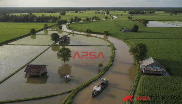
Flood detection AI for Flood Resilience: Enhancing Detection with Topology-Informed Neural Networks Discover how topology-informed neural networks combine satellite data for highly accurate, interpretable flood detection, enhancing disaster response and mitigation strategies.
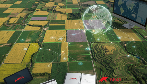
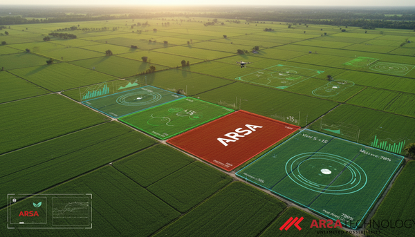
Agricultural field boundaries Mapping the Future of Farming: The First Global 10m Resolution Agricultural Field Boundary Map Discover the groundbreaking global agricultural field boundary map at 10m resolution. Learn how AI and satellite imagery are transforming crop monitoring, food security, and sustainable agriculture worldwide.
Hyperspectral Image Classification MixerCA: Advancing Hyperspectral Image Classification with Efficient AI Explore MixerCA, a novel AI model leveraging depthwise convolution and coordinate attention for efficient, high-accuracy hyperspectral image classification. Discover its practical applications in remote sensing.
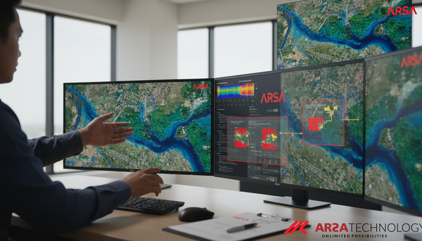
Explainable GeoAI Unlocking Trust: How Explainable GeoAI Transforms Satellite Flood Mapping Explore ARSA Technology's approach to explainable GeoAI, evaluating deep learning models for accurate, trustworthy satellite-based flood mapping. Enhance decision-making and operational reliability.
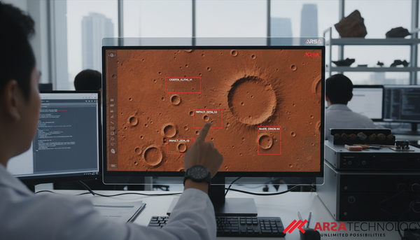
AI planetary science AI-Powered Planetary Discovery: Revolutionizing Crater Analysis with Instance Retrieval Explore CraterBench-R, a new benchmark revolutionizing planetary crater analysis using AI for instance-level retrieval. Learn how Vision Transformers and efficient token aggregation enhance discovery.
Remote Sensing Advancing Earth Observation: The Evolution of Remote Sensing Scene Classification with AI Explore the transformative journey of remote sensing scene classification, from traditional methods to advanced deep learning, foundation models, and generative AI, enhancing Earth observation for critical applications.
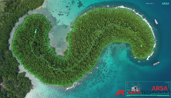
Mangrove segmentation Revolutionizing Mangrove Monitoring: Introducing MANGO, a Global AI Dataset for Conservation Discover MANGO, a new global dataset of 42,703 image-mask pairs from 124 countries, powering AI for precise, real-time mangrove segmentation and conservation efforts.